The History of Boston Roads and Highways, Part 1
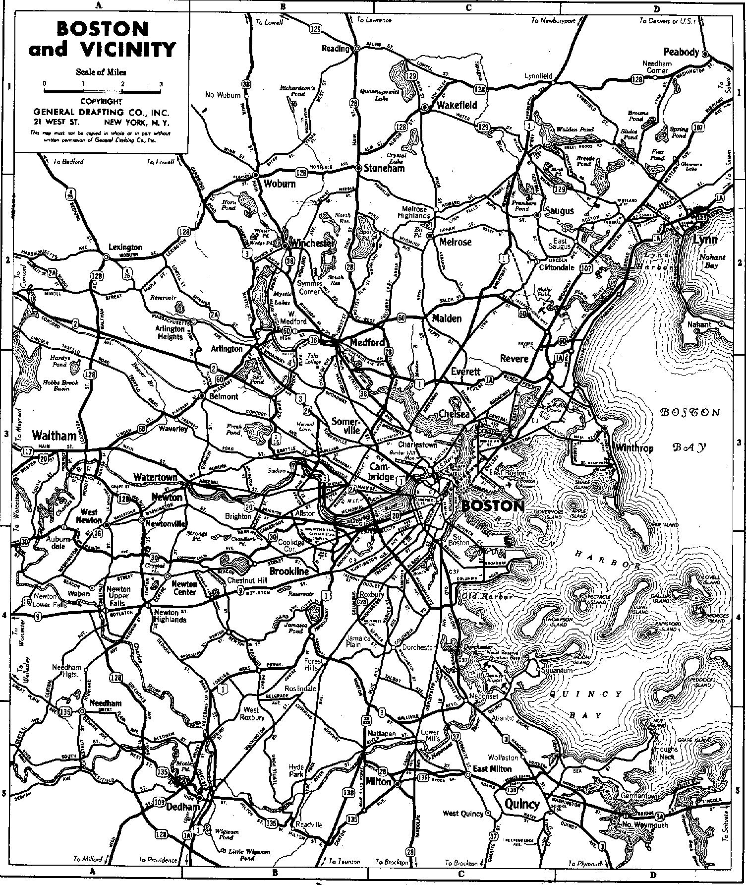

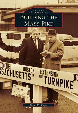
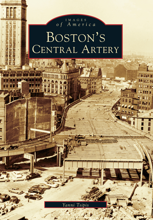

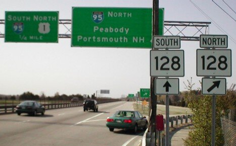
Photo Credits
1937 Boston Road Map
"Building Route 128" (2003, Arcadia)
"Boston's Central Artery" (2001, Arcadia)
"Building the Mass Pike" (2002, Arcadia)
I90, Photo by James Lantos
128 Road Signs
“Big Dig” (Source: Boston Globe)
One thing I've always been curious about even before I started doing Uber/Lyft has been the history of Boston roads and highways.
Beantown roads date back to the 1600s. Local roads were created to follow cow paths, they say, although this has been debunked as a myth in recent years. The 18th century Kings Highway connecting Charleston, SC to Boston later became the Boston Post Road in our area. Many “turnpikes” and toll roads were created in the 19th century. Frederick Law Olmstead, the creator of Central Park in New York City, was responsible for designing many of the parkways around Boston, including the famous Emerald Necklace and the Old Harbor Reservation parkway system connecting Franklin Park to the South Boston parks and shoreline. (If you’re curious where the word “parkways” comes from, it means a road that connects different parks.)
Then came national roads, “US” numbered single lane “highway” roads, a concept developed in the early 20th century. Finally Interstate highways of the mid 20th century.
A discussion of this subject could start by looking at the history of one of the most famous roads in the area, Route 128/I-95.

Above is an interesting graphic, a road map of Boston from 1937. Not sure of the source but it looks like a general road map you might have found in a gas station back in the day. Before there were Google Maps or Waze, and before the Internet / Web itself, one way to get maps was to pick up free ones at the gas stations. That’s how we did it back then.
What is interesting about this map is that there was 128 even back then. Route 128 is a way of life in the Boston. It used to be referred to as the Technology Belt. Part of the Massachusetts Miracle", the founding of the high tech industry (that actually took place here first before Silicon Valley. 128 is the main artery around the city, the inner belt of the region. Back then it was a connection of previously unrelated local roads that paralleled the same general path as today. For example, Lexington St. in Waltham was part of the unified 128.
There is a well researched book that documents the 128 which I cannot recommend highly enough if you are a road nerd. David Kruh and Yanni Tsipis prepared one of those sepia toned picture postcard books by the Arcadia Publishing (aka The History Press) which documents different town around the state.
"Building 128" (2003, Arcadia Publications) is an excellent pictorial summary and history of the road "we love to hate". There was an article about this book in the Globe in 2015. I found a used copy on Ebay. There is an excellent analysis of what areas around exits on 128 looked like before the highway was built. In Waltham, where I live, you can see a bunch of farms around the Bear Hill Run Valley, for example, where the highway was cut through the area.
Tsipis prepared equally outstanding books, Building the Mass Pike (2002, Arcadia Publishing), and Boston Central Artery (2001, Arcadia Publishing). Many millennials who use Uber and live downtown are unaware that the Rose Kennedy Greenway stands where the Boston Central Artery Expressway used to lay. It was a huge and hulking overhead highway that ran through downtown. As I've told many riders, there was nothing underneath except a dead zone, as I recall. It was similar to what you see today under the I-93 bridge that goes through Somerville. Nothingness and transportation storage areas. There was no incentive for tourists to roam around. The fact that there are 1000s of tourists everyday walking around during the summer where this structure used to be amazes me. Old timers have told me this is where they used by fireworks, "under the bridge". Others have noted that there used to be a doorway under the bridge that connected Haymarket to Hanover Street on the North End.
As far as the naming and numbering of roads, here is another general history . Another well written book is “Big Roads” by Earl Swift.
Route 128 is an important road to understand for the Uber / Lyft driver. We drive on it all the time, every day.
Here are some articles about the Central Artery Expressway